
Maps Have Always Been A Colonial Tool of Expansion—Techno-Fascism Is Making It Worse
How are the colonial applications of cartography, mixed with growing techno-fascism, helping Donald Trump's expansionist agenda?
Editor’s Note: This story includes mentions of colonization and genocide.
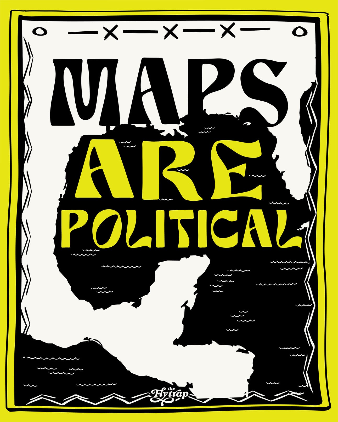
In the lead-up to his second inauguration, Donald Trump made no secret about his desire for territorial expansion of the United States. In addition to threatening to annex sovereign territories such as Canada, Greenland, and the Panama Canal, Trump marked his first day in office by signing an executive order renaming landmarks to those that “honor American greatness.” Trump’s order decreed that the Gulf of Mexico should be renamed the “Gulf of America,” and Mount Denali in Alaska should henceforth be called “Mount McKinley.”
Following this executive order, Google began relabeling the body of water between the United States, Mexico, and Cuba as the “Gulf of America.” Fellow software giants Apple and Bing followed suit. The change was highly controversial, with Mexican President Claudia Sheinbaum demanding Google reverse course.